骑行大洋路 - 1 大山的解说牌(Sign of Big Hill)
-
浏览次数:535 | 收藏次数:0
-
-
-
上一个脚印
下一个脚印
-
收藏
-
- 作者:nenva
- 所属行程:骑行大洋路 - 1
- 时间:2012-2-14 18:27
- 地点:澳大利亚
- 创建时间: 2012-2-22 10:06
- 经度:144.02 | 纬度: -38.49
-
标签:
无
- 描述:
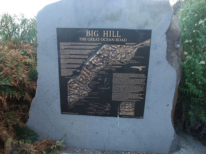
大山也有一块解说牌。官方对大山的解说是:
“大山是罗恩的东边屏障,也是大洋路修建过程中的一个大障碍。劳工们苦干数月,终于在1920年打通此段。劳工的部分报酬来自于出售周围160个建筑地块的土地收益。”
There is a sign board as well. The content related to Big HIll is:
"Big hill was a major obstacle in the construction the G.O.R. In 1920 men toiled to clear this elevated section of the road from which Lorne is seen to the west. Their labour was in part paid for the public land sale of 160 surrounding building blocks and the road was opened that same year."
-
查看照片EXIF信息
- 曝光时间:1/70
- FNumber:33/10
- 焦距:32/5
- 厂商:FUJIFILM
- 闪光灯:No
- 日期:2012:02:14 15:27:24
- ISO感光度:100
- 型号:FinePix F200EXR
-
共有0条评论


 京公网安备 11010502041691号